See More, Know More—Day or Night
Sky Hunter TX’s cutting-edge thermal imaging technology reveals wildlife presence, behavior, and patterns that traditional surveys often miss, giving you a clearer picture of your land’s true potential.
Unveiling Wildlife with Thermal Precision
Thermal imaging revolutionizes how we understand wildlife populations and land use. By detecting subtle heat signatures—even in total darkness or dense cover—our drones capture the unseen movements and habits of deer, feral hogs, predators, and more. The result is data-driven intelligence that goes beyond what’s possible with standard optics, helping you make confident decisions about land management, habitat improvement, and property investments.
How Thermal Imaging Works
Specialized Sensors
Our drones are equipped with advanced thermal cameras capable of detecting minute temperature differences.
Optimal Timing
We schedule flights during times when thermal contrasts are most pronounced—often at dawn, dusk, or during cooler weather.
Aerial Data Capture
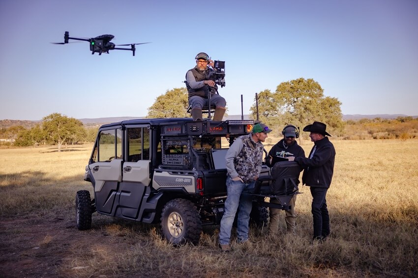
By hovering silently above your property, our drones record infrared signatures that highlight wildlife even in thick brush or challenging terrain.
Expert Interpretation
Our analysts translate raw thermal data into meaningful insights, identifying species presence, movement corridors, and habitat use.
Actionable Reporting
You receive a detailed, easy-to-understand report, complete with maps, population estimates, and recommendations for enhancing your land’s value and ecological health.

Key Advantages of Thermal Imaging
- Enhanced Visibility: Detect nocturnal or elusive species that remain hidden from conventional surveys.
- Accurate Counts: Improve population estimates with reliable, technology-backed counts that minimize guesswork.
- Non-Invasive: Reduce disturbance to wildlife and habitat while still capturing highly detailed data.
- Versatile Applications: Suitable for varied environments—from thick brushlands to open prairies—and multiple species types.
Who Benefits from Thermal Imaging Surveys?
- Ranch Owners & Managers: Gain insights into nocturnal predator activity and subtle changes in game distribution.
- Wildlife Biologists & Conservationists: Monitor hard-to-detect species, assess habitat usage, and support conservation goals.
- Real Estate Professionals & Investors: Strengthen property value propositions by showcasing thorough wildlife data to potential buyers.

Case Study
“We’d struggled to confirm the presence of certain predators on our property. After one thermal imaging survey with Sky Hunter TX, we had the data to pinpoint exact hotspots of activity and implement effective management strategies.”
Sarah B.
Hill Country Property Manager
Ready to Uncover the Unseen?
From improving habitat management plans to identifying elusive game, thermal imaging unlocks a new level of understanding about your property’s wildlife.
Contact Us Today to discover how our thermal imaging surveys can bring clarity to your land management decisions.
