Our Services
Our Services
At Sky Hunter TX, we offer a comprehensive range of services designed to help ranch owners, managers, and real estate professionals make informed decisions about their land and wildlife resources. Leveraging advanced thermal drone technology, deep local expertise, and a commitment to accuracy, our team provides you with the data and insights you need to optimize your property’s potential. From population counts and habitat assessments to property mapping and regulatory valuations, we’re your trusted partner in Texas wildlife and land management.
Wildlife Population Surveys
Gain a clear understanding of the species on your property—everything from whitetails to exotics. Our wildlife population surveys provide precise counts, seasonal trends, and distribution patterns, empowering you to make strategic management and conservation decisions.
Thermal Imaging Surveys
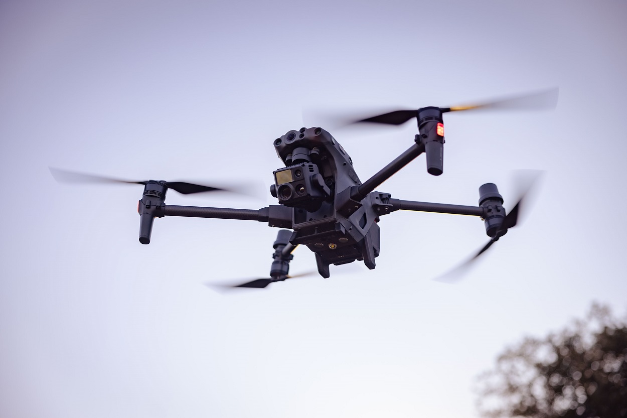
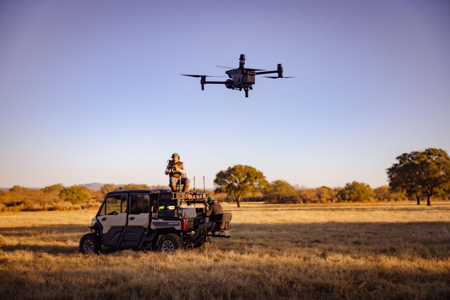
Our state-of-the-art thermal imaging drones capture wildlife activity even under low-light conditions. This technology allows us to identify elusive species, detect nocturnal predators, and gather accurate data that traditional surveys can miss.
Feral Hog & Predator Detection
Pinpoint troublesome populations that impact both your land and native species. Our targeted detection services help you understand the scope of your hog and predator issues, creating a foundation for more effective control and mitigation strategies.
Deer Census & Management Consulting
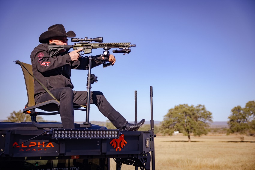
Optimize your whitetail herd for health, quality, and sustainability. From conducting accurate deer counts to offering management recommendations, we help you maintain trophy-quality populations and meet your long-term land goals.
Land & Habitat Assessment
Evaluate the ecological health of your property. Our assessments examine vegetation quality, water sources, and habitat structure, providing actionable insights on improving range conditions, increasing biodiversity, and supporting thriving wildlife communities.
Thermal Wildlife Surveys
Take wildlife detection to the next level. By using high-resolution thermal sensors, we capture wildlife presence and movement patterns under a variety of conditions. Whether it’s dense brush or challenging topography, our thermal surveys reveal what’s hidden.
Drone High Fence – Ranch Checks
Monitor fences, water sources, feeders, and infrastructure with ease. Using drones for high fence checks reduces manual labor, saves time, and ensures that your ranch remains secure and well-maintained, even across large or remote properties.
Thermal Lease Scouting Survey
Considering leasing land for hunting or wildlife activities? Our thermal lease scouting surveys help you assess prospective properties, ensuring you invest in land that aligns with your goals and expectations.
Feral Pig & Predator Services
Go beyond detection. Once problem species are identified, we collaborate with you to develop strategies aimed at controlling feral pigs and predators. From ongoing monitoring to integrating with existing land management plans, we support long-term solutions.
Ranch Mapping
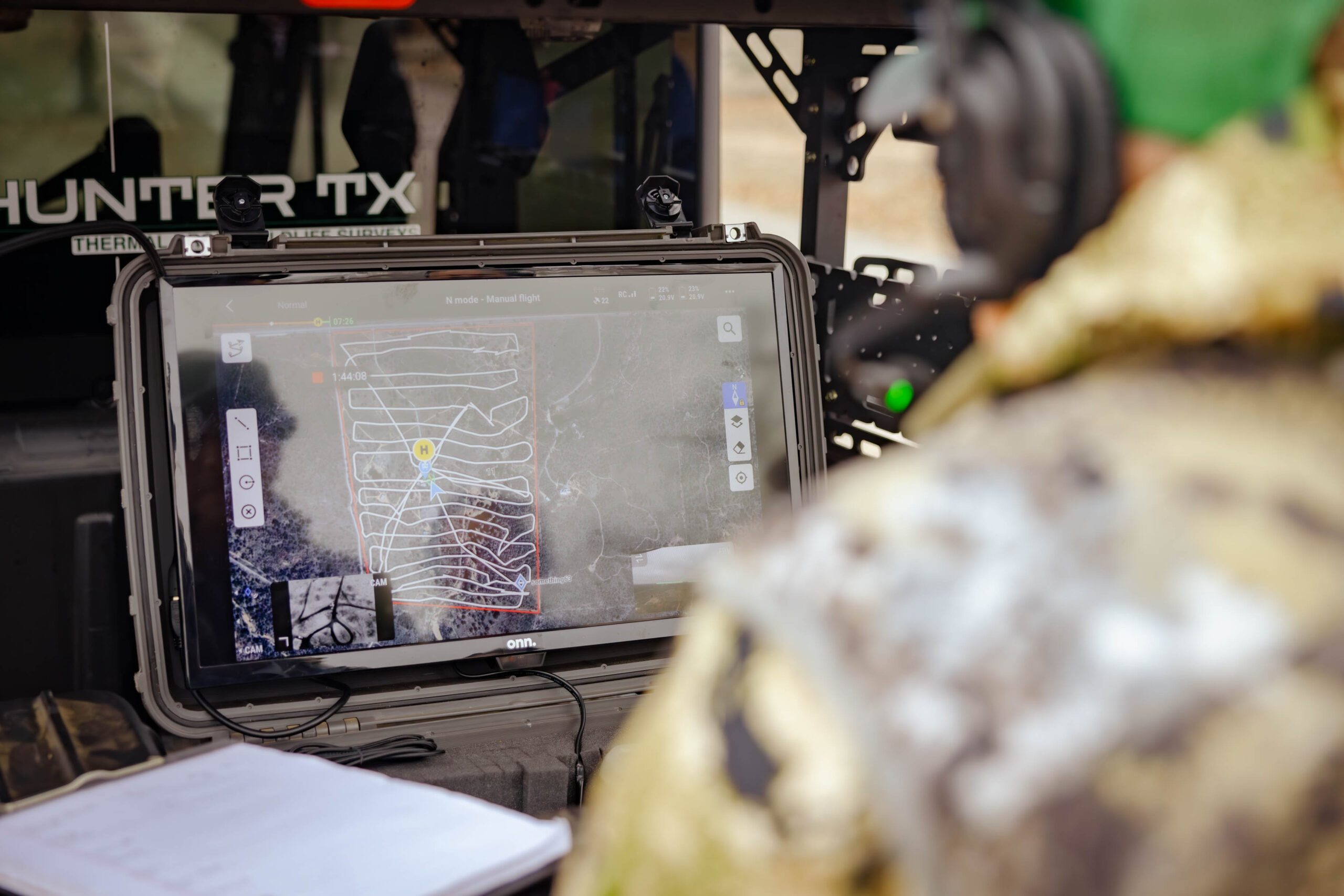
Get a bird’s-eye view of your entire property. Our drone-based mapping services provide accurate, up-to-date geospatial information—helpful for planning improvements, positioning blinds and feeders, and understanding every acre of your land.
MLDP | 1D1 Valuation Services
Simplify your participation in Texas wildlife management valuation programs. We provide the data and documentation required for MLDP (Managed Lands Deer Permit) or 1D1 (Wildlife Management Valuation) applications, ensuring compliance and maximizing potential tax benefits.
Get In Touch
Ready to explore how our services can enhance your property’s value and wildlife potential?
[Contact Us Today] to discuss your needs and let Sky Hunter TX create a custom solution for you.