How It Works

Hassle-Free Thermal drone Wildlife Surveys
At Sky Hunter TX, we’ve developed a proven, step-by-step approach to ensure your thermal drone wildlife survey goes smoothly—from the moment you request a quote to the delivery of your final report. Our process is designed to minimize hassle on your end, allowing you to focus on your ranch or property’s bigger picture while we handle the rest.
Our Process
Step 01
Request a Quote
Begin by reaching out to us through our online form or a quick phone call. We’ll gather some basic information about your property size, location, and the species or populations you’re interested in surveying. This initial contact sets the stage for a customized survey plan that fits both your objectives and budget.
Step 2
Logistics & Scheduling
We handle the details so you don’t have to.
Once we understand your needs, we’ll work closely with you to determine the ideal date, time, and conditions for the flight. We aim to schedule surveys during optimal temperature and wildlife activity windows—often early mornings or evenings (depending on time of year)—ensuring accurate and reliable data collection.
Step 3
Flight Prep & Property Insights
Laying the groundwork for a seamless aerial survey.
Before the day of the appointment, our pilots and wildlife specialists review your property boundaries, terrain, and habitat features. We carefully program the drone flight path to ensure comprehensive coverage, factoring in areas of interest, seasonal patterns, and any access considerations.
Step 4
Pre-Flight Check-In
A quick confirmation, ensuring everyone’s on the same page.
On the scheduled day, we’ll reach out with a final confirmation to make sure conditions remain ideal and to confirm property access instructions. We’ll also confirm all necessary points of contact for any last-minute questions, ensuring you have peace of mind before the survey begins.
Step 5
Execution of your Survey Flight Appointment
High-resolution thermal imaging, minimal disturbance.
Our FAA-licensed pilots arrive on-site and conduct the survey flight using advanced thermal drones. Each flight is executed with safety, efficiency, and stealth in mind, so as not to disrupt wildlife. By capturing multiple passes and angles, we create a rich dataset of wildlife activity on your land.
Step 6
Post-Flight De-Brief
Understanding the raw data and what comes next.
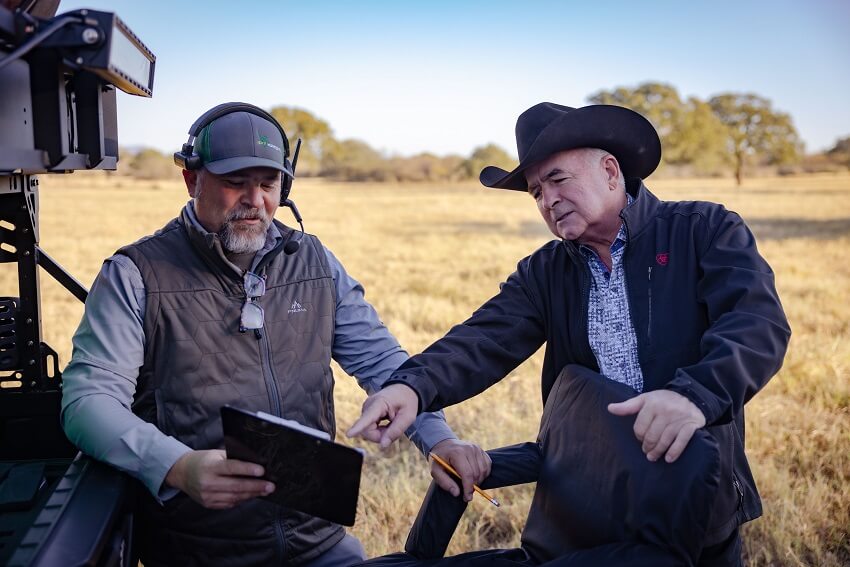
Immediately after the flight, we review preliminary results and ensure the data is intact and comprehensive. While you won’t receive a full report at this stage, we can give a general overview of how the survey went and set expectations for the reporting timeline.
Step 7
Detailed Reporting & Analysis
We translate the thermal data during your thermal drone survey into actionable insights to help you better manage your property and its wildlife.
With the imagery and sensor data collected, our team of experts conducts a thorough analysis—identifying species, counting populations, and examining movement patterns. We then compile our findings into a detailed, easy-to-follow report, complete with maps, charts, and management recommendations. This final report will be delivered digitally, giving you the knowledge you need to make informed decisions about land management, property investments, or future conservation efforts.
