Precision Thermal Drone Wildlife Surveys for Texas Landowners and Professionals
Delivering accurate, data-driven insights to ranch owners, managers, and real estate professionals across Texas, so you can make informed decisions about your land and wildlife.
Precision Thermal Drone Wildlife Surveys for Texas Landowners and Professionals
The Sky Hunter Difference
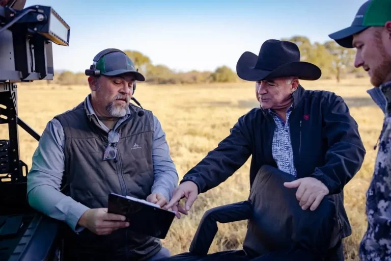
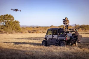
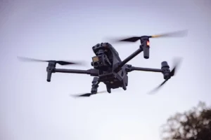
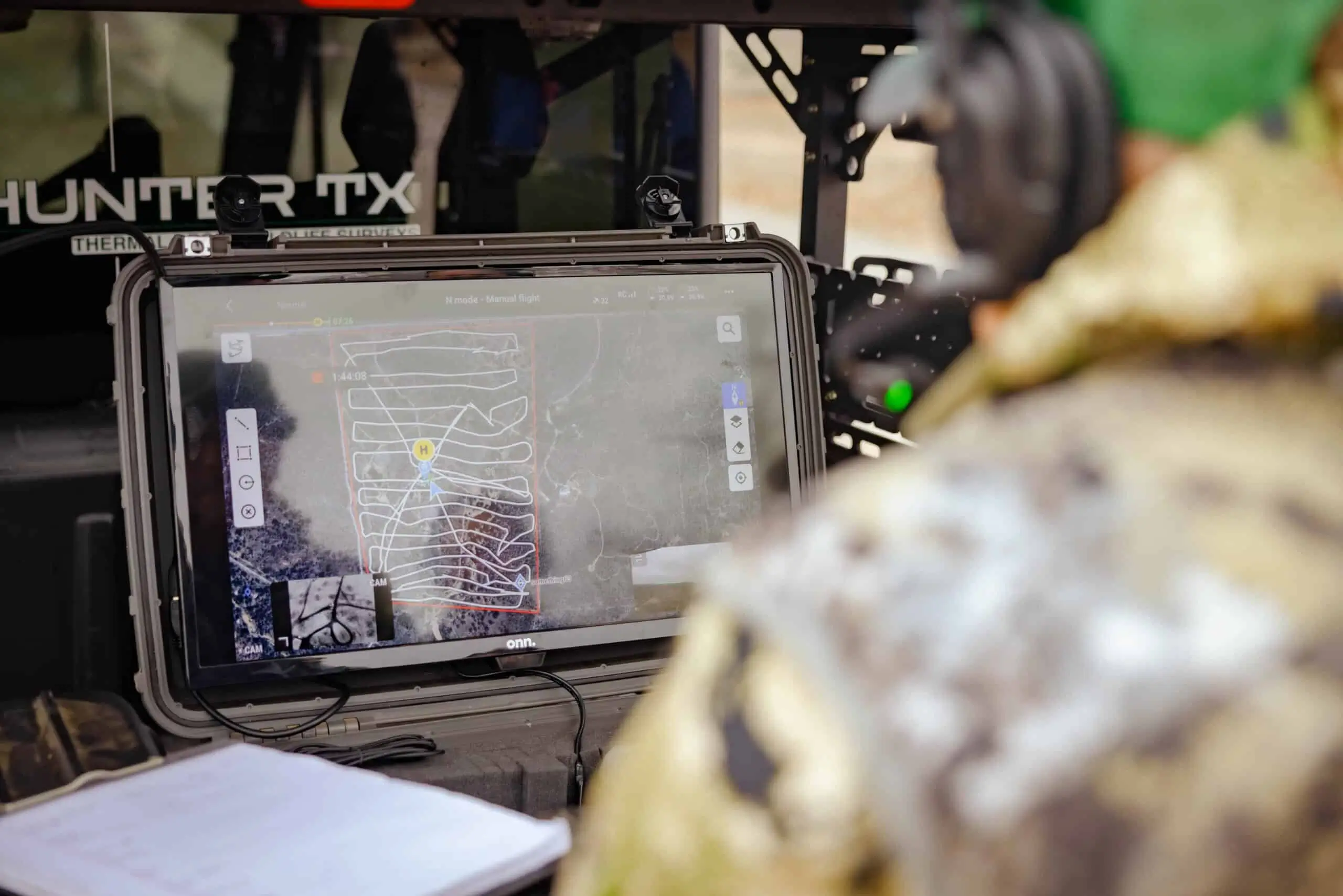
At Sky Hunter TX, we harness the latest in thermal imaging drone technology to provide clear, actionable wildlife population data. Our experienced pilots, equipped with cutting-edge therma; drones, deliver unmatched accuracy—giving you the confidence to manage your property’s herd balance, enhance land value, and ensure sustainable land and wildlife stewardship.
We are fully licensed and certified by the FAA and Texas Parks & Wildlife to ensure peace of mind and legality in any operational scenario.
Key Differentiators
- State-of-the-Art Technology: Advanced thermal drones and high-resolution imagery.
- Data-Driven Insights: Comprehensive surveys that translate raw data into practical recommendations.
- Unmatched Local Expertise: A Texas-based team dedicated to understanding your unique terrain, climate, and wildlife challenges.
- Comprehensive Reporting: From population counts to habitat assessments, we provide thorough, easy-to-read reports.
Featured Services
Wildlife Surveys
Identify deer, hogs, and other wildlife populations with pinpoint accuracy.
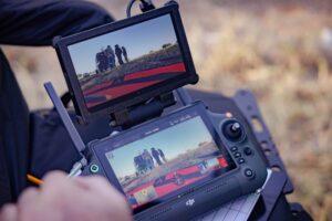
Thermal Imaging
See what the naked eye can’t—from nocturnal predators to elusive game species.
Land & Habitat Assessments
Understand how to improve or maintain the health of your ranch’s wildlife populations.
Real Estate Evaluations
Provide potential buyers and investors with reliable wildlife data to boost property appeal.
